
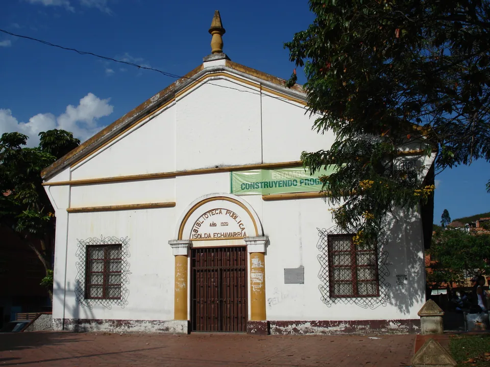
Barbosa
Pineapple-growing municipality at the northern end of the Aburrá Valley, about 42 km from Medellín. Known for paragliding and hang-gliding from Alto Matasanos, pre-Hispanic petroglyphs, river pools and finca-hotels for resting.
- Alto Matasanos paragliding and hang-gliding
- Petroglyphs of Buga and pre-Hispanic path
- Parque de las Aguas
- Finca-hotels
- Pineapple and obleas con arequipe
Why we listed it
Listed by Gobernación de Antioquia (turismo): Town profile, 41.8 km / 1 h 05 min from Medellín, Alto Matasanos, petroglyphs, Parque de las Aguas, Metro-integrated routes.
Last checked: 2 Oct 2026